
AMP: 47
Location: I-40 and Beale St, Mohave Cty
Reassurance shield as US-93 splits as we head out of Kingman
AMP: 44
Location: I-40 and Oatman Rd, Mohave Cty
A couple miles later, we’ll approach Oatman Rd, which carries Route 66 both east and west of here
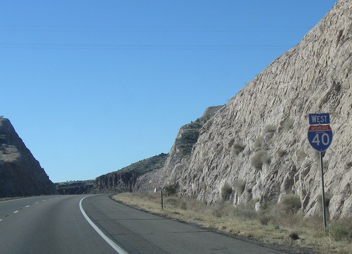
AMP: 43
Location: I-40 and Oatman Rd, Mohave Cty
Reassurance shield after the Oatman Rd interchange
AMP: 36
Location: I-40 and Griffith Rd, Mohave Cty
Reassurance shield after the Griffith Rd interchange
AMP: 27
Location: I-40 and Old Trails Rd, Mohave Cty
Reassurance shield after the Old Trails Rd interchange 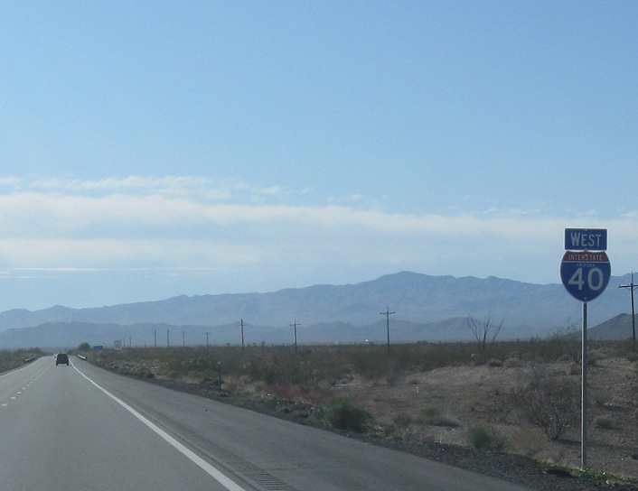
AMP: 25
Location: I-40 and Alamo Rd, Mohave Cty
Reassurance shield as we pass the village of Yucca, home of the Chrysler new car proving grounds. When I drove by, a string of four perfectly normal looking Dodge Grand Caravans that were behind me exited
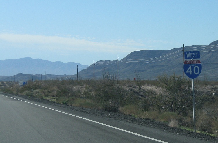
AMP: 22
Location: I-40 at the Haviland Rest Area, Mohave Cty
As we pass a rest area, we’ll get another reassurance shield
AMP: 22
Location: I-40 at the Haviland Rest Area, Mohave Cty
12 miles to junction SR 95
AMP: 19
Location: I-40 and Gem Acres Rd, Mohave Cty
Reassurance shield after the Gem Acres Rd interchange
AMP: 19
Location: I-40 and Gem Acres Rd, Mohave Cty
9 miles to junction SR 95
AMP: 12
Location: I-40 and Franconia Rd, Mohave Cty
Reassurance shield after Franconia Rd
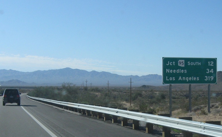
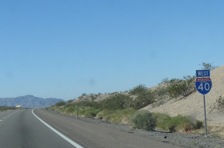
AMP: 11
Location: I-40 and SR 95, Mohave Cty
2 miles to junction Arizona 95
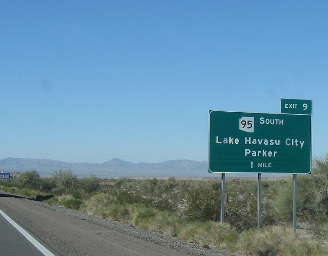
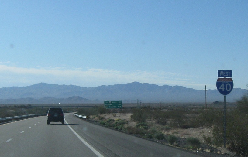
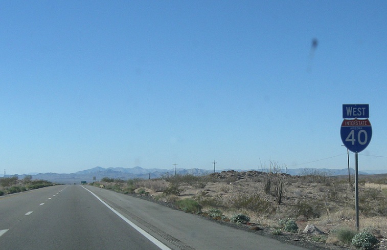
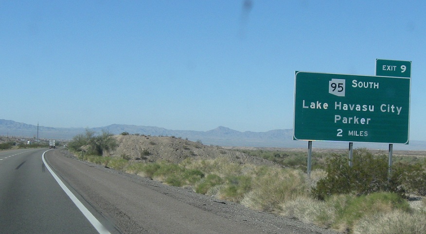
AMP: 10
Location: I-40 and SR 95, Mohave Cty
Exit for SR 95 south towards Havasu and Parker
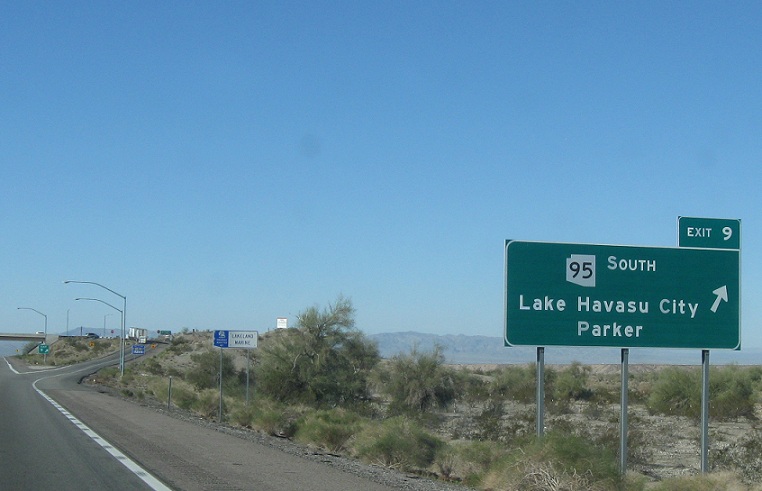
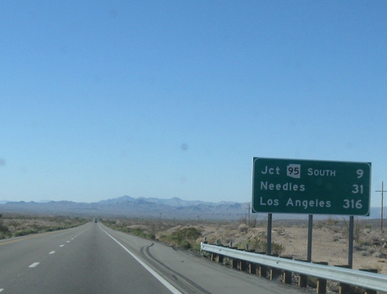
AMP: 9
Location: I-40 and SR 95, Mohave Cty
Exit for SR 95 south, which heads towards Havasu and Parker. SR 95 is implied to run north with I-40 to Needles, California, where another segment begins just north of the Colorado River and heads up to Bullhead City.
 W to CA State Line, E to I-40 Bus/SR 66


 N to SR 68, S to I-40 Bus/SR 66
